Observer Route 003
Cherokee Park Dog Hill Woodland Loop — a shaded mixed route around Baringer Hill Shelter, Dog Hill, and nearby woodland paths.
Cherokee Park · Louisville, Kentucky
🚶 Observer Route 003 — Dog Hill Woodland Loop
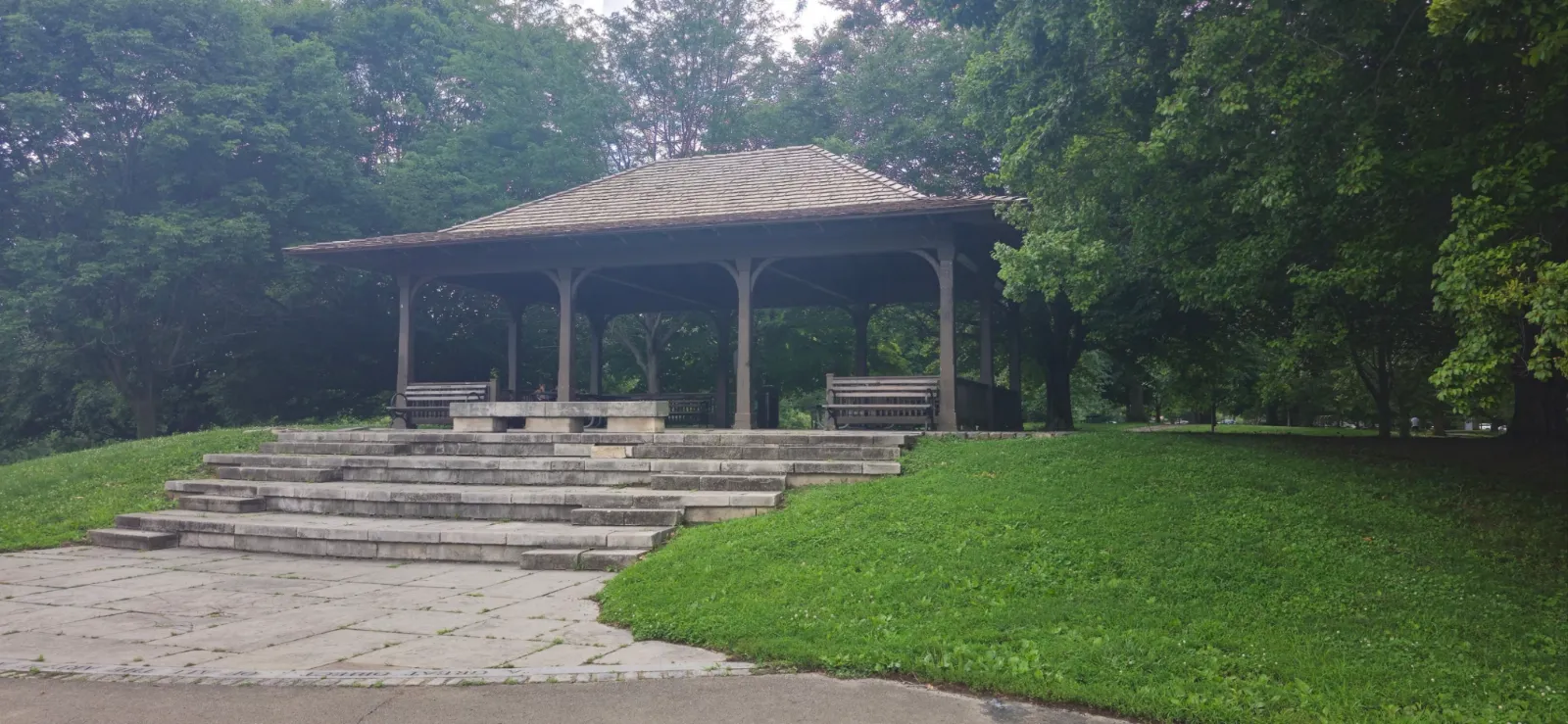
Observer Route 003 begins near the Baringer Hill Shelter overlooking Dog Hill and follows a mix of paved paths and shaded woodland trails through Cherokee Park.
This short route blends open park views with tree-covered paths. It begins at the hilltop shelter, drops toward the lower paved sections near Scenic Loop, moves through wooded trail sections, and returns toward the Dog Hill overlook.
📍 Route Overview
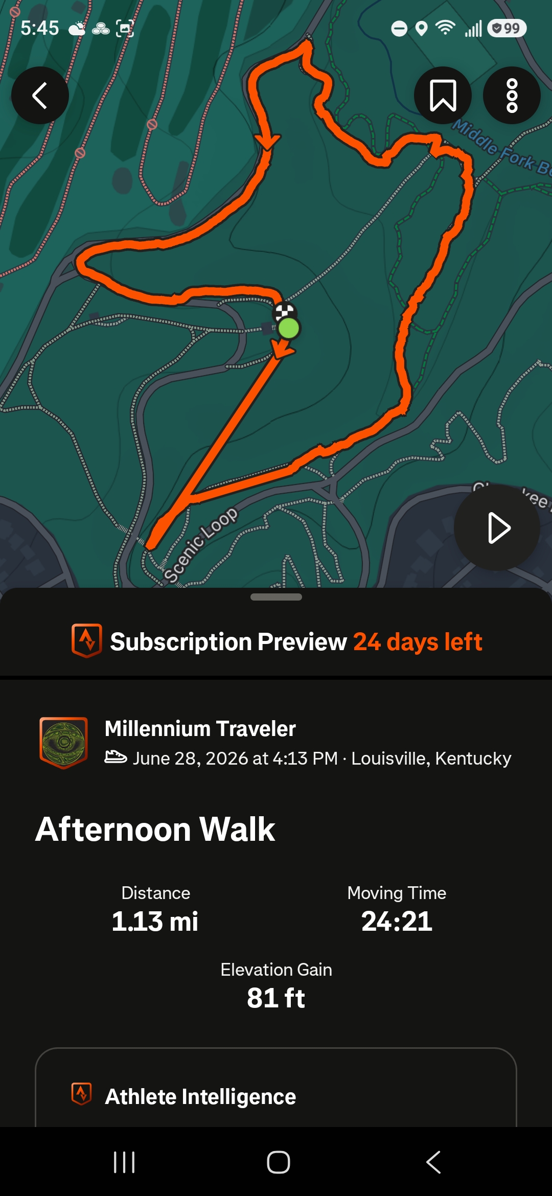
Observer Route 003 covers approximately 1.13 miles around the Dog Hill and Baringer Hill area of Cherokee Park. The route mixes paved park paths, shaded wooded stretches, hillside sections, and short trail connections near Middle Fork Beargrass Creek.
Route mapping and statistics for Observer Route 003 were recorded using Strava. Visitors interested in tracking their own walks, hikes, runs, or bicycle rides may find the app useful for recording routes, distance, elevation, and travel time.
🍃 Route Notes
Observer Route 003 starts at the shelter above Dog Hill, one of Cherokee Park's familiar hilltop spots. From there, the walk moves between paved park paths and wooded trail sections, giving the route a nice mix of open views, shaded pavement, and quieter hillside paths.
This route is short, but it still has enough elevation change to feel like a real walk. The paved portions under the trees make it comfortable in warmer weather, while the natural trail sections add a more hidden Cherokee Park feeling around the Dog Hill area.
🎥 Route Walkthroughs
These short walkthrough videos show sections of Observer Route 003, including the paved shaded paths, woodland trail sections, and the Dog Hill area of Cherokee Park.
Dog Hill Woodland Walkthrough
A shaded section of the route near Baringer Hill and Dog Hill.
Dog Hill Trail Walkthrough
A short route section mixing paved park path and wooded trail.
📸 Observer Route 003 Slideshow