Observer Route 001
Cherokee Park Scenic Loop — a Louisville Places walking route through hills, trees, stonework, and shade.
Cherokee Park · Louisville, Kentucky
🚶 Observer Route 001 — Scenic Loop
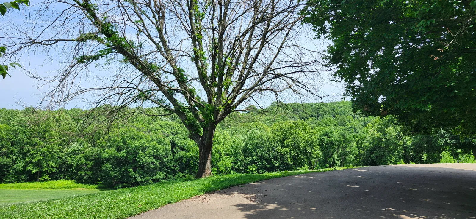
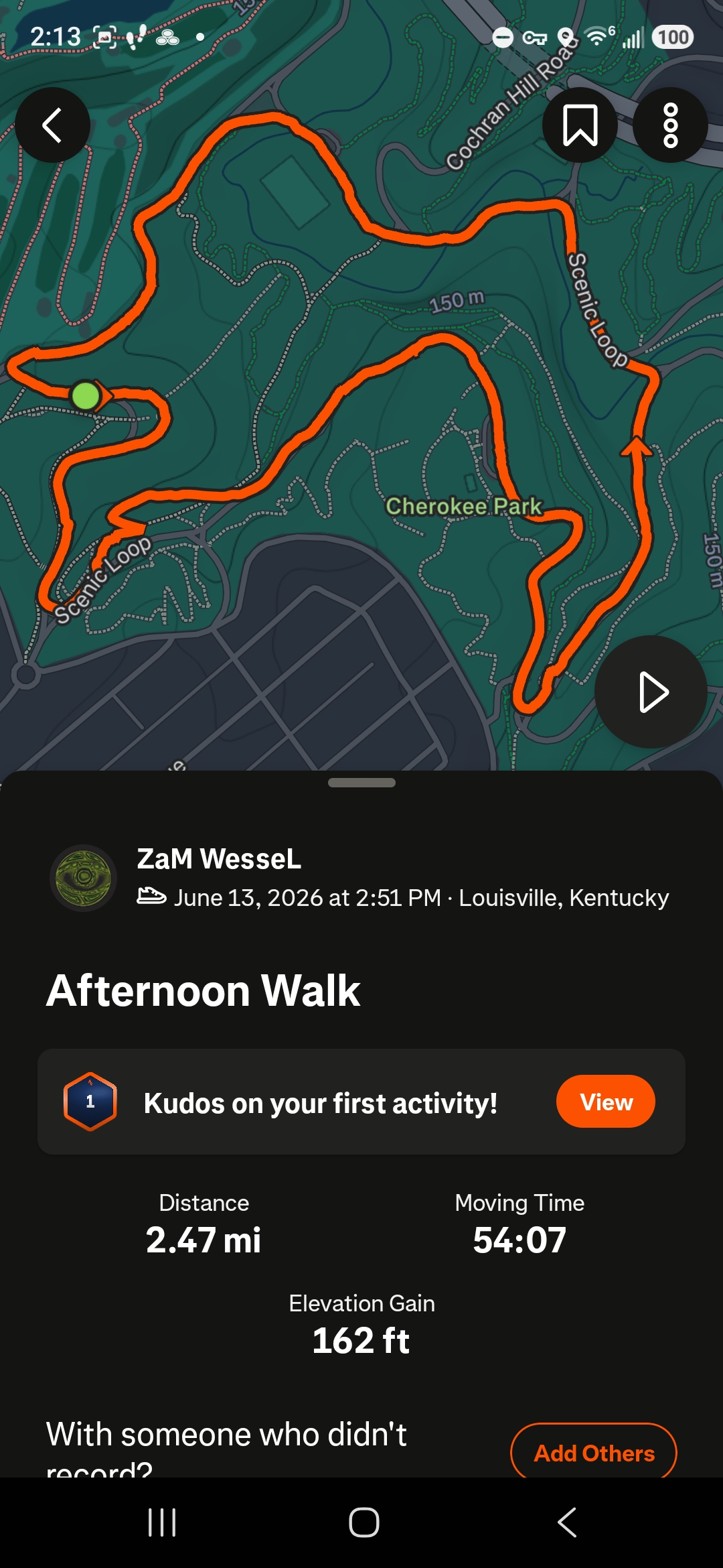
Observer Route 001 follows Cherokee Park’s paved Scenic Loop, beginning near Hogan’s Fountain and moving through the park’s familiar mix of open hillsides, shaded woodland, creek crossings, stone features, and long quiet stretches.
This route is good for visitors who want a real Cherokee Park walk without needing to go deep onto the wooded hiking trails. It is still a full walk, though — the hills add up, especially near the end.
📍 Route Overview
Many visitors do not realize how large Cherokee Park really is. Observer Route 001 covers approximately 2.47 miles and takes nearly an hour on foot. Even while staying on the paved Scenic Loop, the route passes through a variety of landscapes including open hillsides, mature woodland, creekside sections, and historic stone features. There is also plenty of shade along the way.
Route mapping and statistics for Observer Route 001 were recorded using Strava. Visitors interested in tracking their own walks, hikes, runs, or bicycle rides may find the app useful for recording routes, distance, elevation, and travel time.
🍃 Route Notes
The Scenic Loop gives you a little bit of everything Cherokee Park is known for: tall trees, open green space, winding pavement, creekside views, older stonework, and long shaded sections where the city starts to feel farther away.
This route works well as a simple loop walk, a photo route, or a first Cherokee Park route for anyone who wants to experience the park without needing special hiking gear. Comfortable shoes are still a good idea.
📸 Observer Route 001 Slideshow